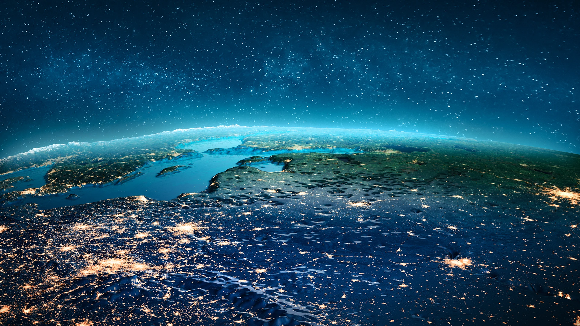
LUMA transforms very high-resolution satellite data into trusted carbon and environmental intelligence. Powered by space innovation and AI, we deliver monitoring solutions with real-world impact. From forests today to all ecosystems tomorrow.
LUMA transforms very high-resolution satellite data into trusted carbon and environmental intelligence. Powered by space innovation and AI, we deliver monitoring solutions with real-world impact. From forests today to all ecosystems tomorrow.
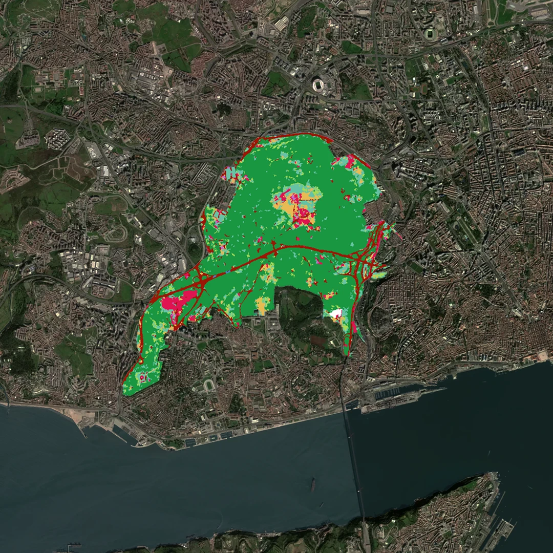
Up to 30x sharper than standard monitoring for reliable carbon stock estimation.
Multi-Source Data Models
Our AI models are trained on multiple sensor types and in situ data, enabling accurate and scalable analysis.
Multi-Source Data Models
Models tested with field data for measurable precision and scientific transparency.
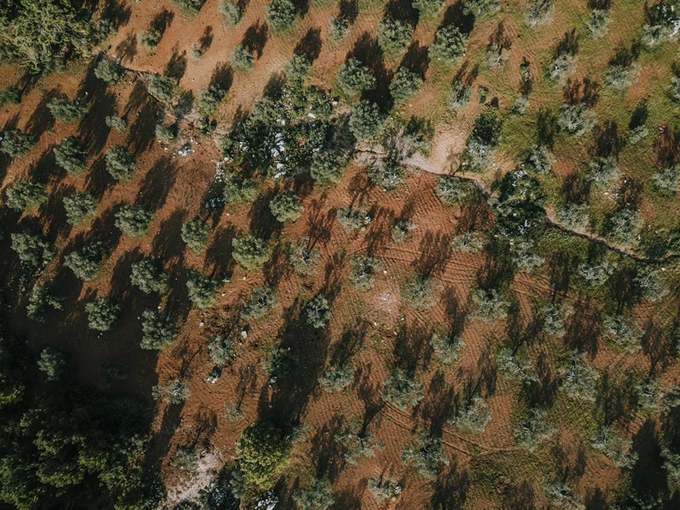
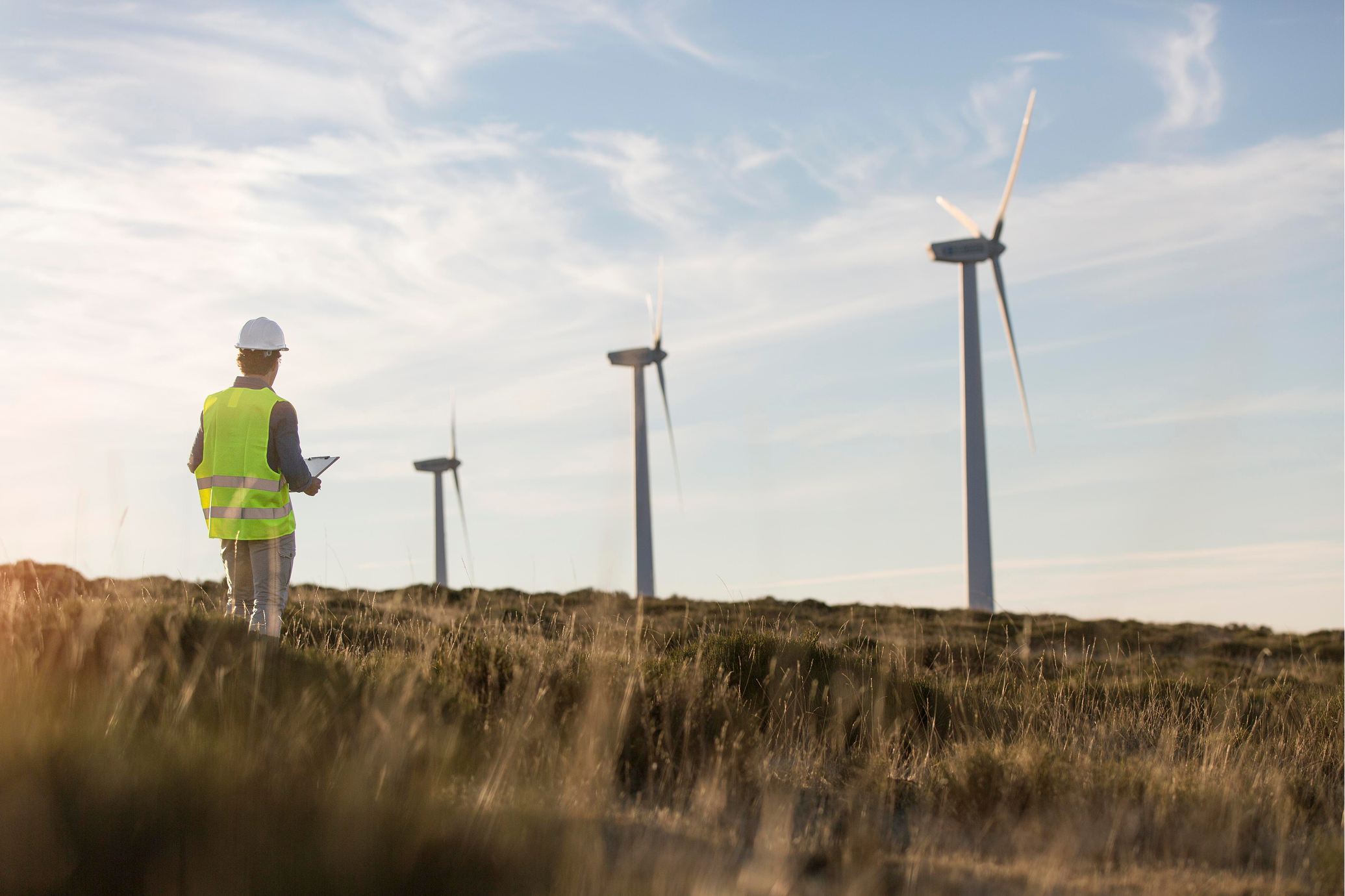
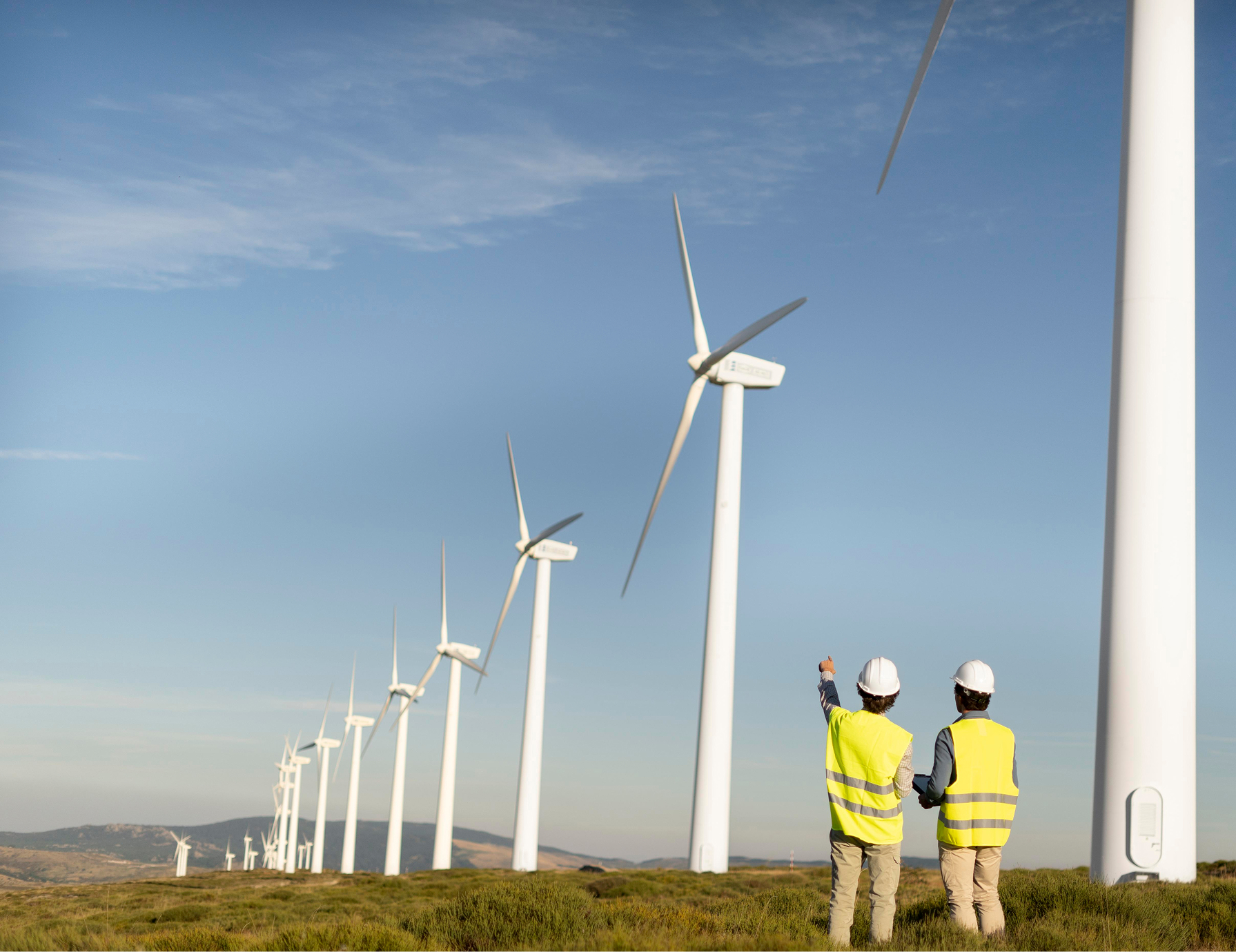
Turbine Installation
Turbine Installation
Services
Carbon & Biomass Monitoring
Measurements of carbon stock and above-ground biomass, adapted to each project’s scope.
Expanded Environmental Insights
Track canopy height, water stress levels, land-use dynamics, and changes over time.
Real-Time Hazard Detection
Instant alerts on fires, deforestation, and other disturbances. These alerts are mapped directly within the platform for fast action.
Scalable Monitoring Framework
From small conservation projects to large-scale reforestation, our system adapts to your needs with the same level of precision.
Words
from
Our
Clients
“We were amazed at the immediate impact. The turbines were up and running in no time, and our energy bills have dropped significantly. It's empowering to know we’re making a real difference in the environment.”
John Williams
GreenTech Solutions
“Making the move to wind energy was a great decision. The process was seamless, and we’ve already seen a significant reduction in our energy costs. It's reassuring to know we’re contributing to sustainability.”
Sarah Lee
Eco Innovations
“The efficiency of the turbines exceeded our expectations. Not only are we saving on energy costs, but the environmental impact has been remarkable. This investment has paid off faster than we anticipated.”
Tom Harris
WindHarvest Corp.
“Switching to wind energy has reduced our energy bills and helped us operate more sustainably. It’s been a worthwhile investment, and we’re proud to be part of the renewable energy movement. We absolutely love this.”
Mark Stevens
SolarWind Enterprises
“We were amazed at the immediate impact. The turbines were up and running in no time, and our energy bills have dropped significantly. It's empowering to know we’re making a real difference in the environment.”
John Williams
GreenTech Solutions
“Making the move to wind energy was a great decision. The process was seamless, and we’ve already seen a significant reduction in our energy costs. It's reassuring to know we’re contributing to sustainability.”
Sarah Lee
Eco Innovations
“The efficiency of the turbines exceeded our expectations. Not only are we saving on energy costs, but the environmental impact has been remarkable. This investment has paid off faster than we anticipated.”
Tom Harris
WindHarvest Corp.
“Switching to wind energy has reduced our energy bills and helped us operate more sustainably. It’s been a worthwhile investment, and we’re proud to be part of the renewable energy movement. We absolutely love this.”
LUMA leverages Earth Observation and AI technologies to transform satellite data into reliable, decision-ready information. We offer a digital monitoring solution that quantifies and tracks carbon sequestration in forests, green spaces, and restoration projects. Through our platform, users access satellite-based analytics, field data integration, and clear reports that make climate impact measurable and transparent.
What type of projects does LUMA support?
LUMA’s first focus is forests, but our monitoring platform is designed to scale to multiple ecosystems and land types. For now, we support worldwide carbon projects like REDD+, IFM, and ARR, as well as national inventories, conservation areas, and wider land-use applications.
Who is LUMA for?
Currently, our service is built for project developers, municipalities, NGOs, and private companies working on nature-based climate solutions, including reforestation, improved forest management, and urban green projects.
How does LUMA measure carbon sequestration?
We use very high-resolution satellite imagery, combined with scientifically validated models, to estimate Carbon Stocks Changes and Above-Ground Biomass. You can also provide ground-truth field data, which is used to calibrate and improve accuracy for your area of interest.
What features does LUMA provide?
In addition to Carbon Stocks and Above-Ground Biomass, LUMA delivers monitoring of Forest Cover & Change Detection, Burned Areas, Canopy and Tree Height and Vegetation Indices, among others. We also provide real-time hazard alerts, such as fires and deforestation. Future versions will include biodiversity and ecosystem service indicators, helping projects demonstrate broader environmental and social impacts.
What makes LUMA different from other monitoring solutions?
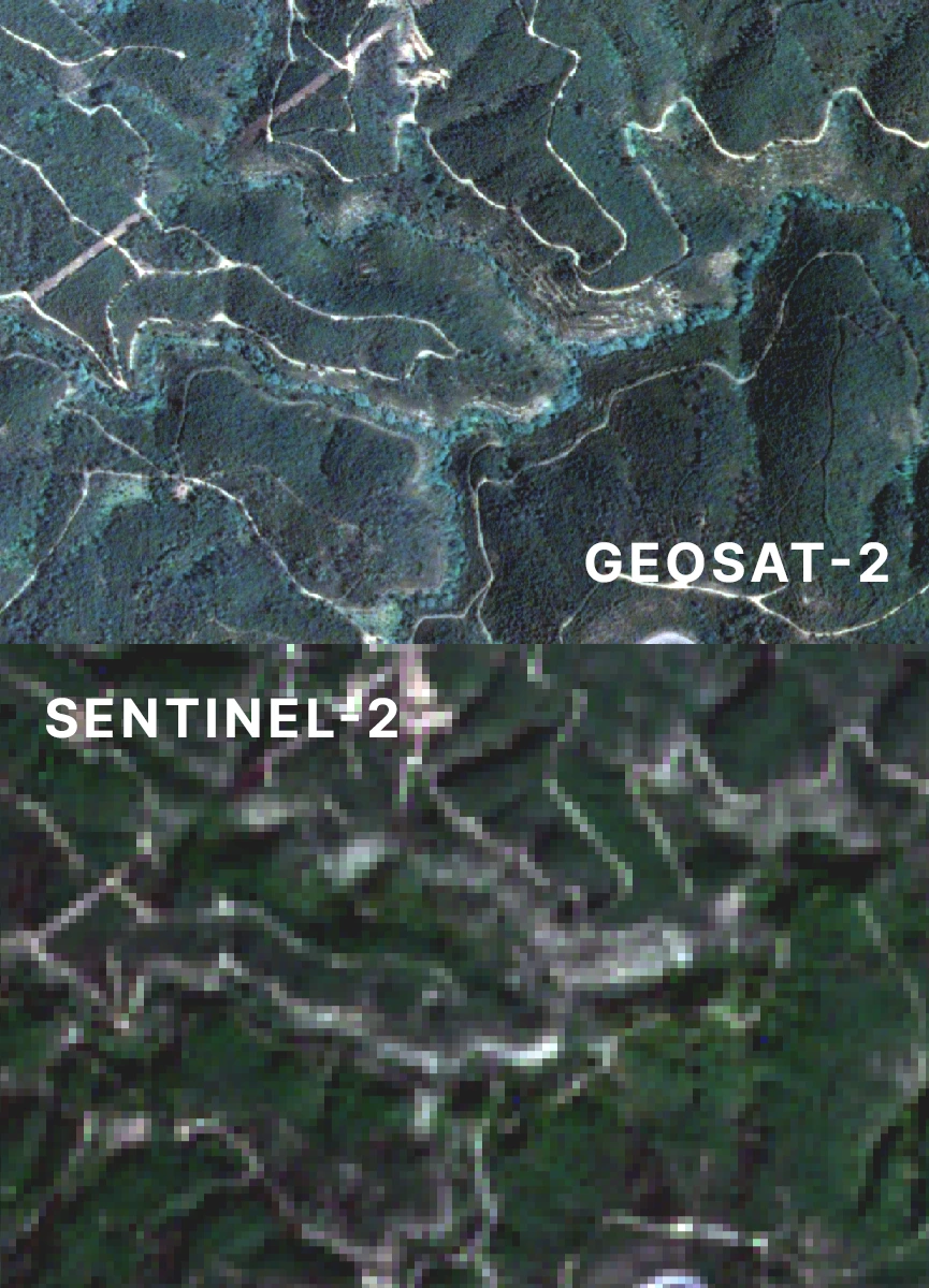
LUMA offers a unique end-to-end carbon mapping service, from satellite data to insight, built on privileged access to VHR satellite imagery and proprietary AI models. Unlike other platforms that rely on third-party missions, we own the entire data value chain. Our unique ecosystem brings together space technology leaders like GEOSAT (one of the two European operators of Very High-Resolution optical satellites) and CEiiA , a benchmark engineering centre, giving us direct access to 1-meter resolution satellite imagery and modeling expertise. Our focus on scientific rigor, quality, and impact ensures that every decision is grounded in trusted environmental intelligence.